Geographic Information Systems (GIS) Department
Welcome to Mesa County's Geographic Information Systems (GIS) site.
Assessor Lookup
Assessor Real Property Information Lookup
GVT Routes
Grand Valley Transit Bus Routes and Schedule
Map Viewer
The map viewer provides an interface to view many features in Mesa County
Open Data
Explore and download Mesa County's public data by topic
Property Sales Search
Search for recent and historical property sales in Mesa County
School Locator
School and Cell Number Locator
Survey Deposits
Find survey deposits from 1987 to present
Vacant Land Inventory
Search for vacant properties in Mesa County
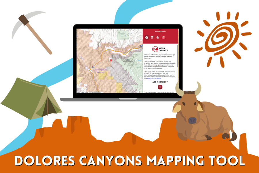
New Dolores Canyons Mapping Tool
The Dolores Canyons Mapping Tool enables the public to view information about the proposed national monument, and submit feedback on boundaries.
April 25, 2024
Announcements, Blog Post, Public Notice
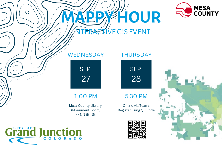
GIS Mappy Hour
Join the City of Grand Junction and Mesa County GIS for Mappy Hour!
September 13, 2023
Announcements, Events
Old Courthouse
Geographic Information Systems (GIS) Department
Mailing Address
Department 5037
P.O.Box 20,000
Grand Junction, CO 81502-5001